Biomass launched in 2025 to map forest structure
P-band radar measures woody biomass as a carbon-storage proxy; repeated scenes will support estimates of forest height and stock change.
Article link
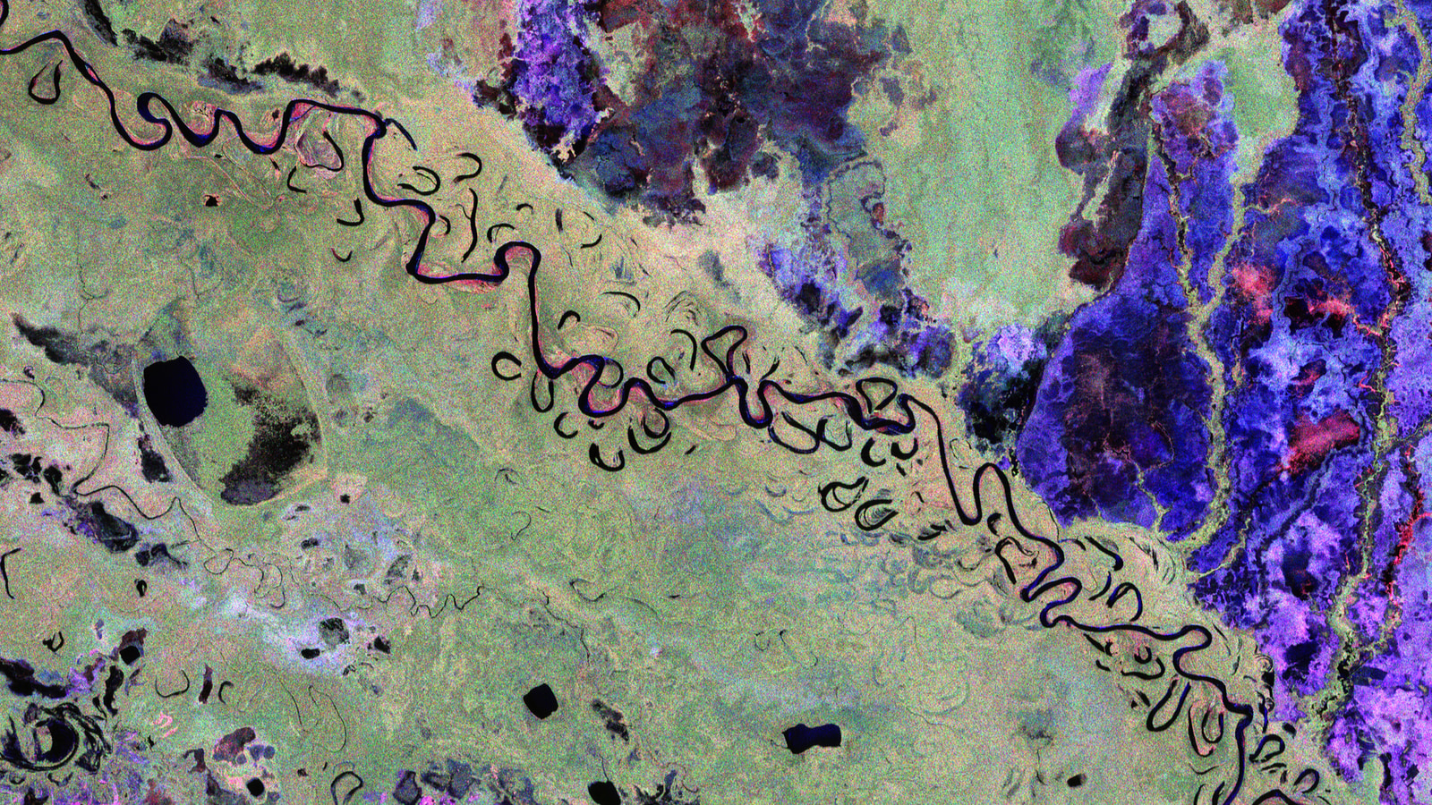
2025: first scenes during commissioning
ESA launched Biomass on 29 April 2025 aboard Vega-C. Its mission goal is repeat global estimates of forest height and woody biomass to reduce uncertainty about forest carbon stocks and fluxes.[3]
The first public scenes arrived in June while the satellite was still being calibrated. ESA said commissioning data could not yet quantify forest carbon or support scientific conclusions.[2]
Radar colours in those scenes encode polarisation and scattering behaviour, not natural colour or carbon tonnes. A vivid pixel is not itself a carbon measurement.[2]
P-band radar reaches into the canopy
Biomass is the first satellite carrying a P-band synthetic aperture radar capable of penetrating dense forest canopies. Its echoes help estimate woody biomass, including trunks and branches.[1]
The fully polarimetric instrument uses a 12-metre reflector, according to ESA’s mission facts. Its long-wavelength radar can show more of forest structure than optical images that mainly record the canopy top.[3][2]
ESA’s first-image analysis emphasizes combining repeat observations to reveal forest height and biomass rather than estimating them from one vivid scene. The signal must be processed and interpreted before it can support a carbon inventory.[2]
A carbon proxy, not a gas detector
ESA describes woody biomass as a proxy for carbon stored in forests. The satellite does not measure carbon dioxide in the atmosphere; researchers infer forest stocks from radar-derived properties.[1]
ESA lists a three-day repeat cycle for interferometric acquisitions and sets repeat global estimates of biomass and height as the mission objective. Changes between these processed stock estimates can help narrow carbon-flux estimates, but they are not direct gas measurements.[3]
Data move to science operations
In January 2026, ESA reported that Biomass had completed commissioning, entered scientific operations and opened its data to users.[4]
Sources & further reading
- Stunning images from Biomass mark its one year in orbitEuropean Space AgencyPublished April 29, 2026Accessed November 3, 2026
Launch anniversary, P-band radar and the carbon-storage proxy.
- Biomass satellite returns striking first images of forests and moreEuropean Space AgencyPublished June 23, 2025Accessed November 3, 2026
Early calibration limits, polarization colours and repeat-image interpretation.
- Biomass facts and figuresEuropean Space AgencyAccessed November 3, 2026
Instrument, reflector, repeat acquisitions and mission objectives.
- ESA’s Biomass goes live with data now open to allEuropean Space AgencyPublished January 26, 2026Accessed November 3, 2026
Completion of commissioning and open scientific data.
Keep exploring
EarthCARE launched in 2024 with four linked sensors
Radar, lidar, multispectral imaging and radiation measurements track different parts of the cloud–aerosol system.
Read story
MetOp-SG-B1 moves to a cleanroom
MetOp-SG-B1 has left storage in French Guiana as ESA prepares for reactivation, checks, fuelling and a planned year-end launch.
Read story
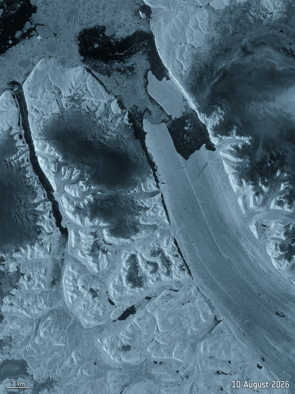
Sentinel-1 observed Petermann Glacier’s August 2026 calving
A floating section over 76 km² detached after years of fracture growth; radar dates the event but does not assign its cause.
Read story