EarthCARE launched in 2024 with four linked sensors
Radar, lidar, multispectral imaging and radiation measurements track different parts of the cloud–aerosol system.
Article link
A 2024 launch with a focused question
EarthCARE lifted off on 29 May 2024. The European Space Agency’s mission was designed to observe clouds, aerosols and radiation together.[1]
ESA and JAXA developed EarthCARE together. After commissioning ended in late 2024, they began releasing first-level data in January 2025.[4]
Clouds and aerosols can reflect or absorb incoming solar energy and affect outgoing infrared radiation; aerosols can also seed cloud formation. Those interactions motivate EarthCARE’s measurements, but one orbit pass cannot establish a climate trend.[4]
Four instruments, different jobs
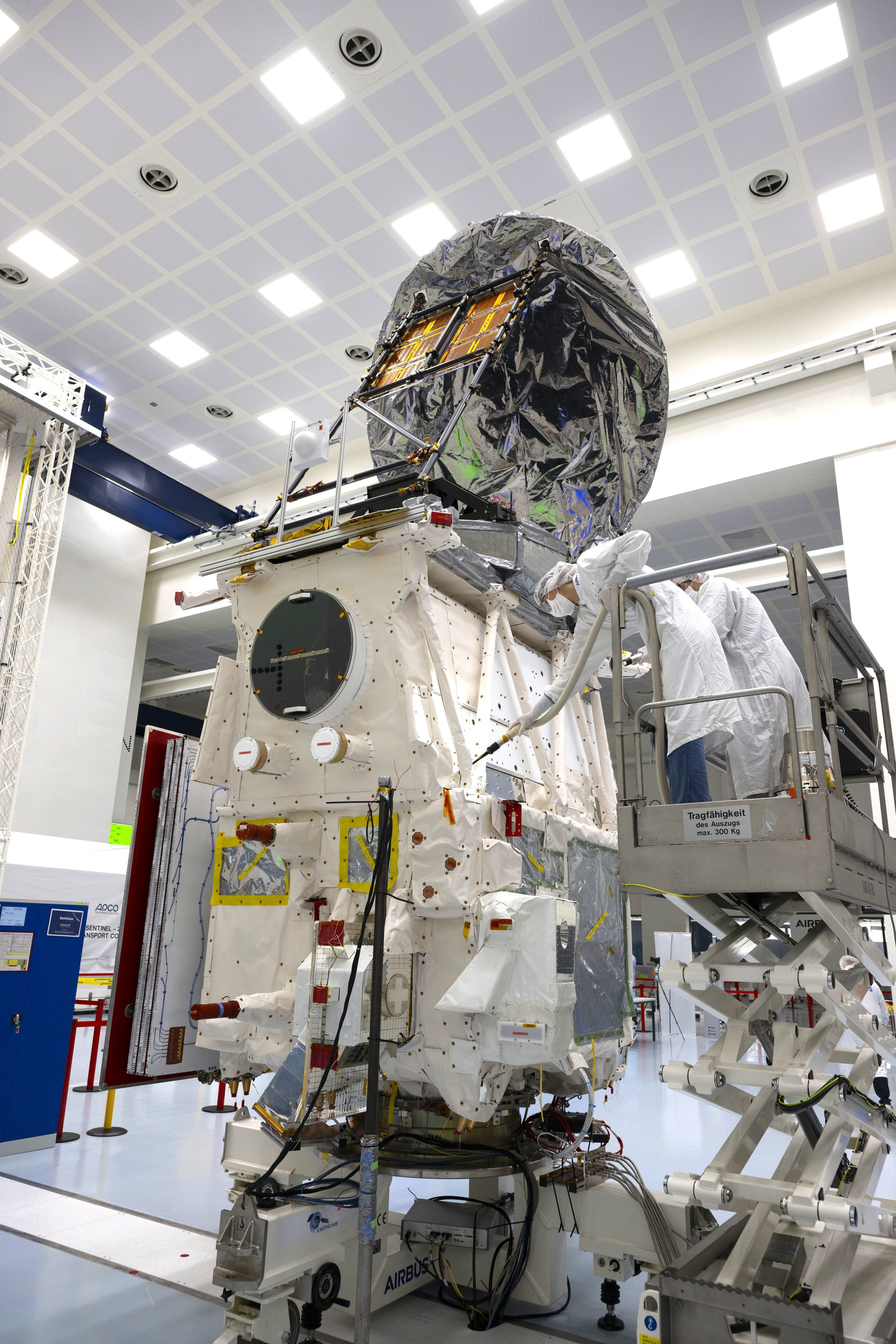
A lidar emits light pulses and uses their returns to profile aerosol and cloud layers, including layer height and optical properties. JAXA’s millimetre-wave radar probes cloud interiors, including vertical motion, particle properties, water and light precipitation.[2]
A multispectral imager supplies a wider visible and infrared view around those narrow profiles. The broadband radiometer measures reflected sunlight and outgoing thermal radiation from three viewing directions.[2]
Together, lidar and radar provide vertical profiles, the imager supplies wider context, and the radiometer samples energy flows at the top of the atmosphere. Lidar profiles can distinguish aerosol type; radar also detects cloud and light-precipitation structure.[2]
From signal to data products
Level-1 records include lidar backscatter, radar reflectivity and Doppler profiles, imager radiances and broadband radiation. Level-2 products retrieve geophysical quantities from Level-1 measurements and auxiliary inputs such as meteorological data.[3]
Some Level-2 products combine several instruments. Three-dimensional cloud and aerosol scenes use vertical profiles with the imager’s across-track view. Other products include cloud-water and aerosol-extinction profiles, plus estimates of top-of-atmosphere radiation. These are retrievals, not photographs; radiative properties are calculated from the retrieved fields.[3]
Sources & further reading
- EarthCAREEuropean Space AgencyAccessed November 3, 2026
Mission purpose, launch and observing capabilities.
- EarthCARE instrument packageEuropean Space AgencyAccessed November 3, 2026
Primary descriptions of the four instrument roles.
- EarthCARE data productsEuropean Space AgencyAccessed November 3, 2026
Calibrated measurements, geophysical retrievals and combined products.
- EarthCARE goes live with data now available to allEuropean Space AgencyPublished January 16, 2025Accessed November 3, 2026
Commissioning, data access and the cloud–aerosol research context.
Keep exploring
Biomass launched in 2025 to map forest structure
P-band radar measures woody biomass as a carbon-storage proxy; repeated scenes will support estimates of forest height and stock change.
Read story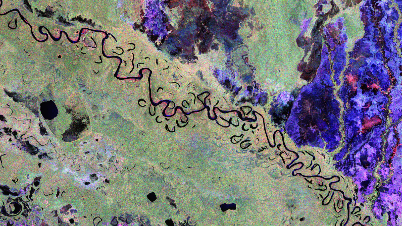
MetOp-SG-B1 moves to a cleanroom
MetOp-SG-B1 has left storage in French Guiana as ESA prepares for reactivation, checks, fuelling and a planned year-end launch.
Read story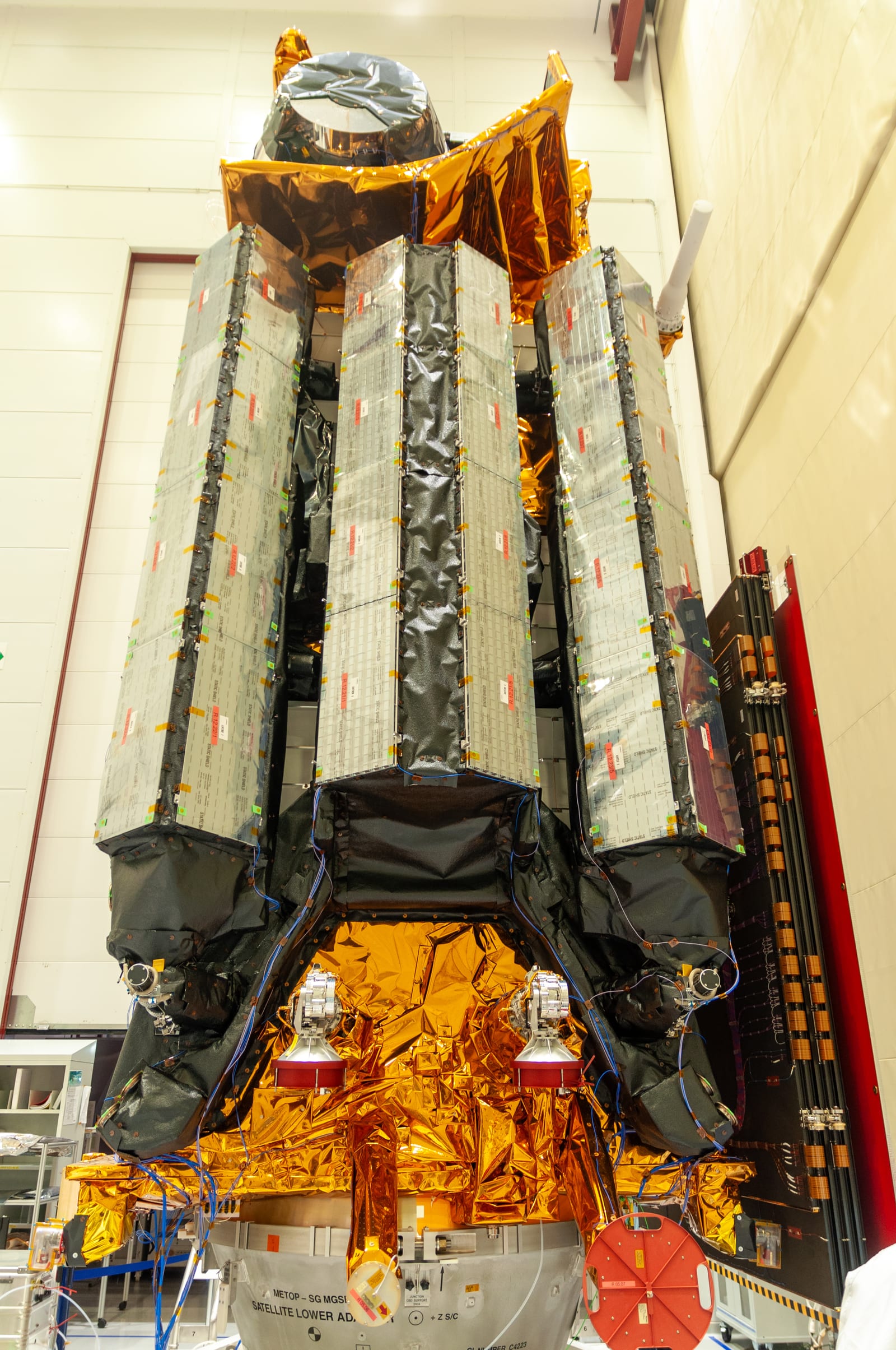
Ariane 6’s 2024 debut proved the upper stage—and exposed one unfinished test
The July 2024 maiden flight deployed eight passengers after two Vinci burns, but an auxiliary-unit shutdown prevented its planned final burn.
Read story