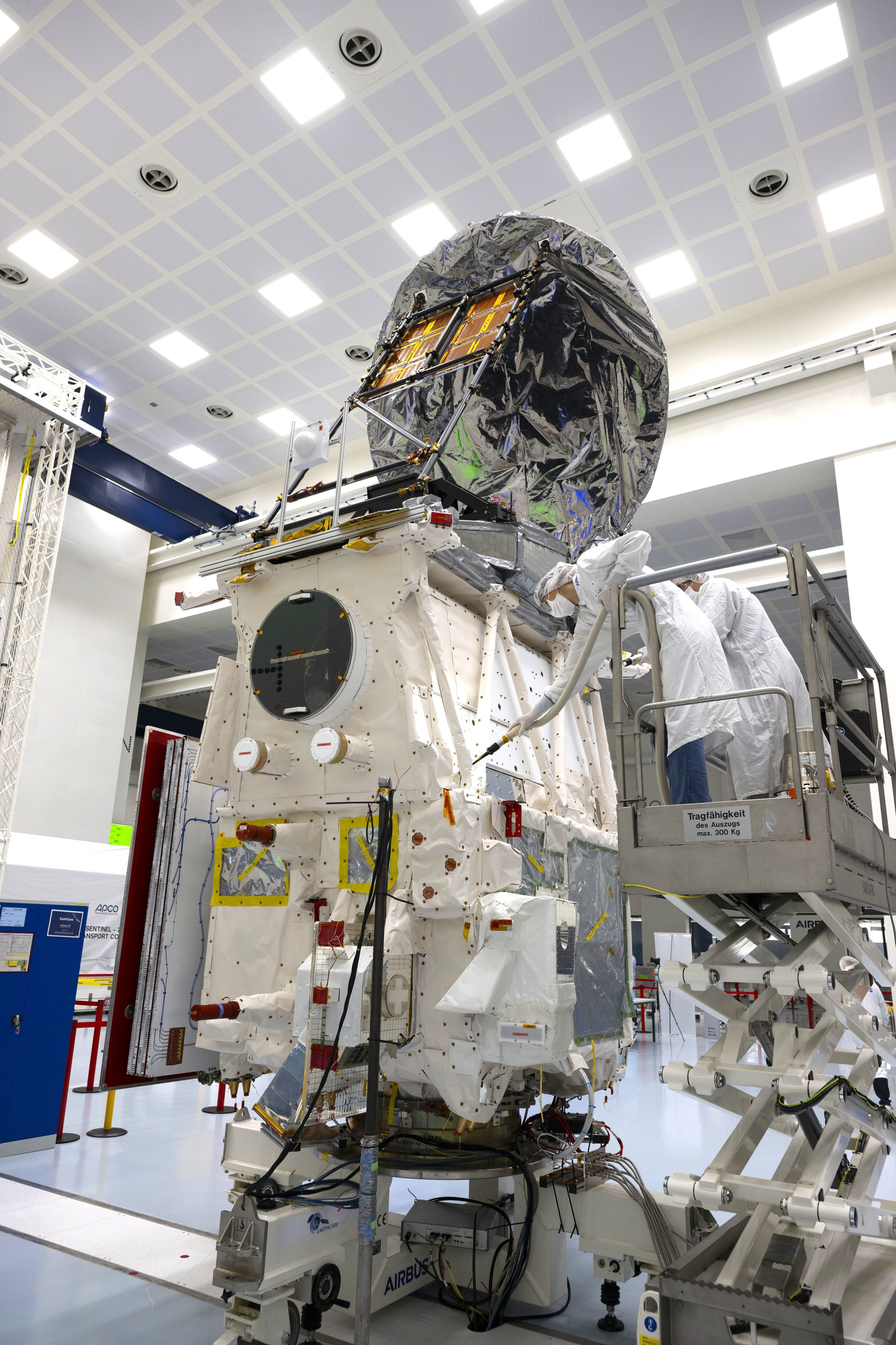
Sentinel-6B enters operational service
Sentinel-6B began operational service on 30 October after cross-validation with its twin. An earlier NOAA bulletin already listed its data.
Article link
From validation to service
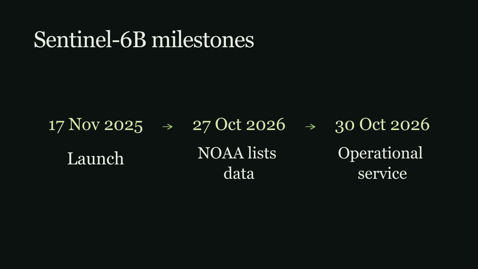
Sentinel-6B entered operational service on 30 October 2026 after cross-validation against Sentinel-6 Michael Freilich. CNES AVISO reports approximate product latencies of three hours for near-real-time data, three days for short-time-critical products and 30 days for non-time-critical products. The update marks an operational milestone, not a newly reported sea-level trend.[1]
What the radar measures
Sentinel-6’s Poseidon-4 altimeter sends radar pulses toward Earth and times their return. Processing the echo waveform derives sea-surface height from radar range. Its leading-edge slope is used to estimate significant wave height; echo strength indicates ocean roughness, which is used to estimate surface wind speed. The instrument collects conventional low-resolution and high-resolution delay-Doppler measurements together. SAR processing averages stacks of echoes to reduce noise and improves along-track resolution from several kilometres to about 300 metres.[2]
A record built for continuity
ESA describes Sentinel-6 as a radar-altimetry reference mission designed to extend sea-surface-height measurements until at least 2030. Each spacecraft carries a Poseidon-4 radar altimeter and a microwave radiometer.[3]
The NOAA listing predates service
NOAA CoastWatch’s 27 October newsletter lists Sentinel-6B data covering 9 September onward, including along-track sea-level anomaly, significant wave height and surface-wind products. This describes the coverage period in NOAA’s listing; it does not establish that the products first became publicly available on 9 September. The earlier data coverage shows that the 30 October milestone was not the satellite’s first ocean measurement.[4]
Sources & further reading
- Sentinel-6B entered its exploitation phase on 30 October 2026CNES AVISO+Published November 2, 2026Accessed November 4, 2026
CNES reports the 30 October exploitation milestone, cross-validation against Sentinel-6 Michael Freilich and nominal product latencies.
- How it worksEuropean Space AgencyAccessed November 4, 2026
ESA explains Poseidon-4 echo processing and the derived sea, wave and wind products.
- Sentinel-6European Space AgencyAccessed November 4, 2026
ESA lists the Sentinel-6 payload and its goal of extending sea-surface-height measurements until at least 2030.
- Newsletter - 2026, October Issue - Oceanographic Data & Systems UpdatesNOAA CoastWatchPublished October 27, 2026Accessed November 4, 2026
NOAA's 27 October bulletin lists Sentinel-6B data coverage from 9 September onward and identifies along-track altimetry products.
Keep exploring
MetOp-SG-B1 moves to a cleanroom
MetOp-SG-B1 has left storage in French Guiana as ESA prepares for reactivation, checks, fuelling and a planned year-end launch.
Read story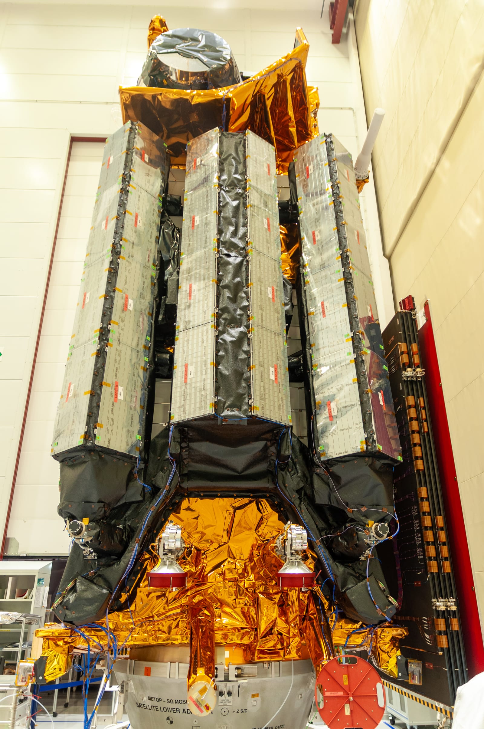
Sentinel-1 observed Petermann Glacier’s August 2026 calving
A floating section over 76 km² detached after years of fracture growth; radar dates the event but does not assign its cause.
Read story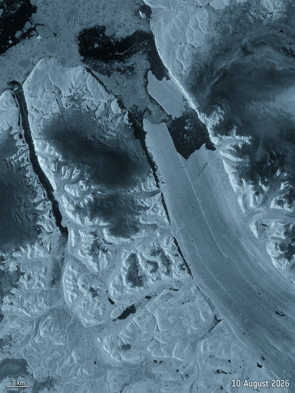
EarthCARE launched in 2024 with four linked sensors
Radar, lidar, multispectral imaging and radiation measurements track different parts of the cloud–aerosol system.
Read story